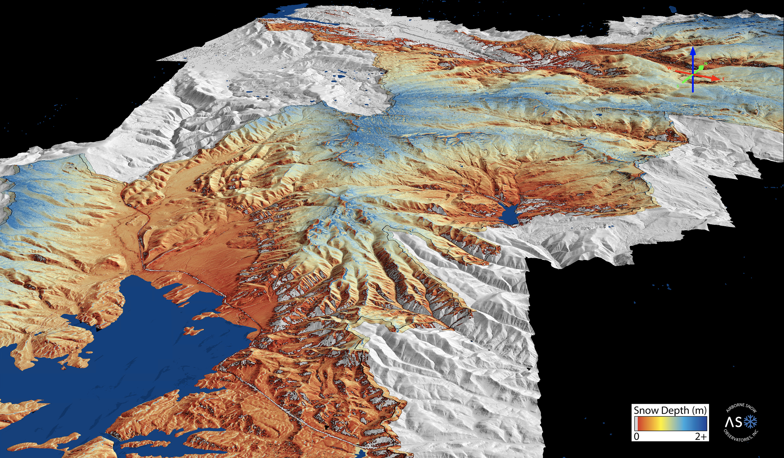
Better snow information. Better water decisions.
Better snow information. Better water decisions.
Utah Snow brings advanced snowpack measurement and water supply forecasting directly to Utah's water managers. By combining watershed-scale snow observations with modern streamflow forecasting, the program helps water users make better-informed decisions about storage, operations, water supply and drought.
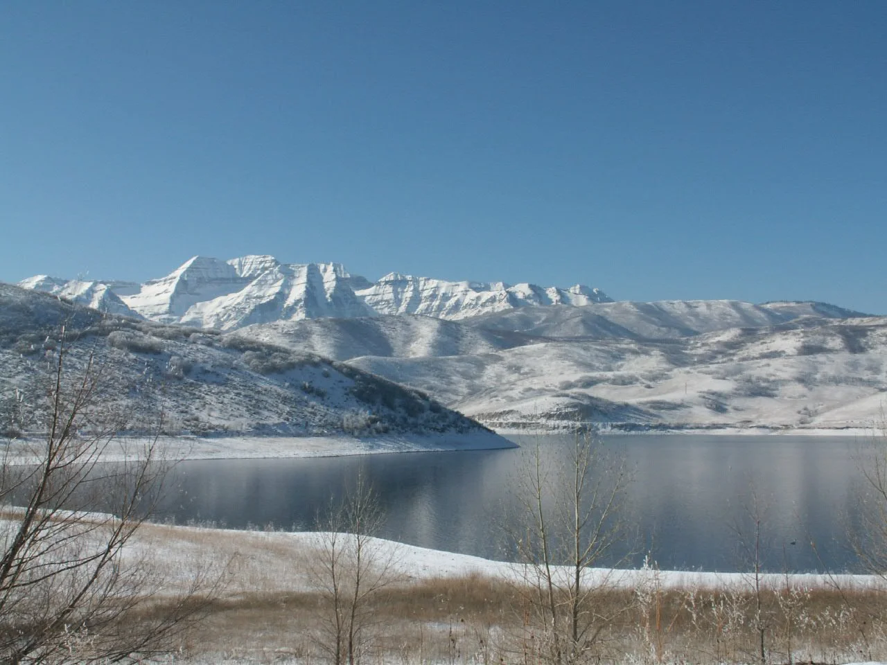
By Mike Nielsen - originally posted to Flickr as Mount Timpanogos from Deer Creek Reservoir, CC BY-SA 2.0,
KNOWING HOW MUCH WATER IS IN THE MOUNTAINS
Measuring more than a handful of points
Utah's existing snow monitoring network provides critical information every winter and spring, but mountain snowpack can vary dramatically across elevation, aspect, terrain and individual watersheds.
Airborne Snow Observatories, or ASO, complement existing monitoring by measuring snow across entire watersheds. The result is a detailed picture of where the snow is, how much water it contains and how that snowpack is changing.
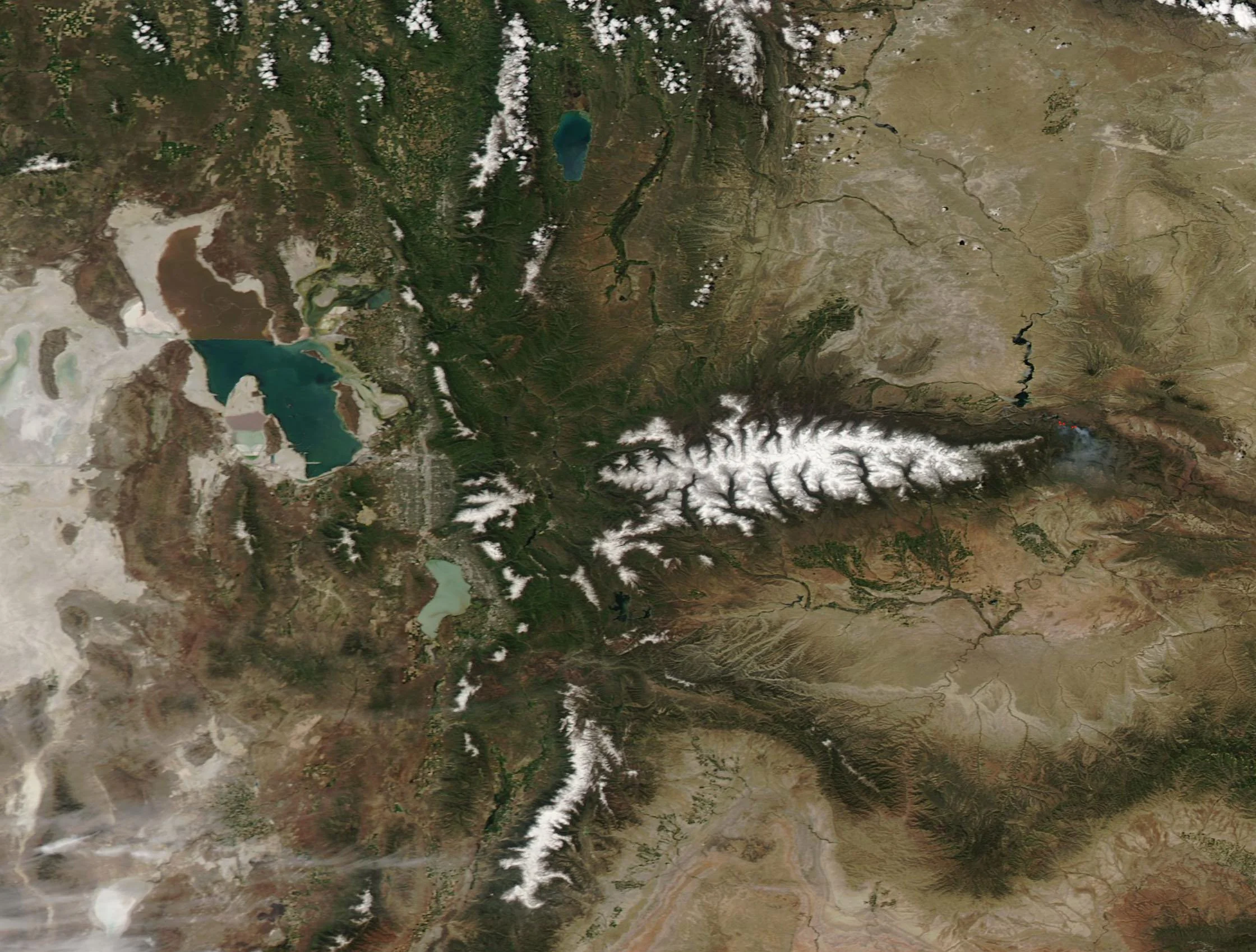
By MODIS Land Rapid Response Team, NASA GSFC - This image or video was catalogued by Goddard Space Flight Center of the United States National Aeronautics and Space Administration (NASA) under Photo ID: 2019-06-13., Public Domain, https://commons.wikimedia.org/w/index.php?curid=145436152
FROM SNOWPACK TO WATER SUPPLY
Measurement is only the beginning.
Utah Snow is designed to move information all the way from the mountains to the decisions water managers make.
MEASURE
Map snow depth and snow water equivalent across entire watersheds.
MODEL
Use observations to improve estimates of snow conditions between surveys.
FORECAST
Integrate measured snowpack into modern hydrologic models to estimate runoff volume and timing.
DECIDE
Put that information into the hands of reservoir operators, irrigation companies, municipalities, agencies and other water managers.
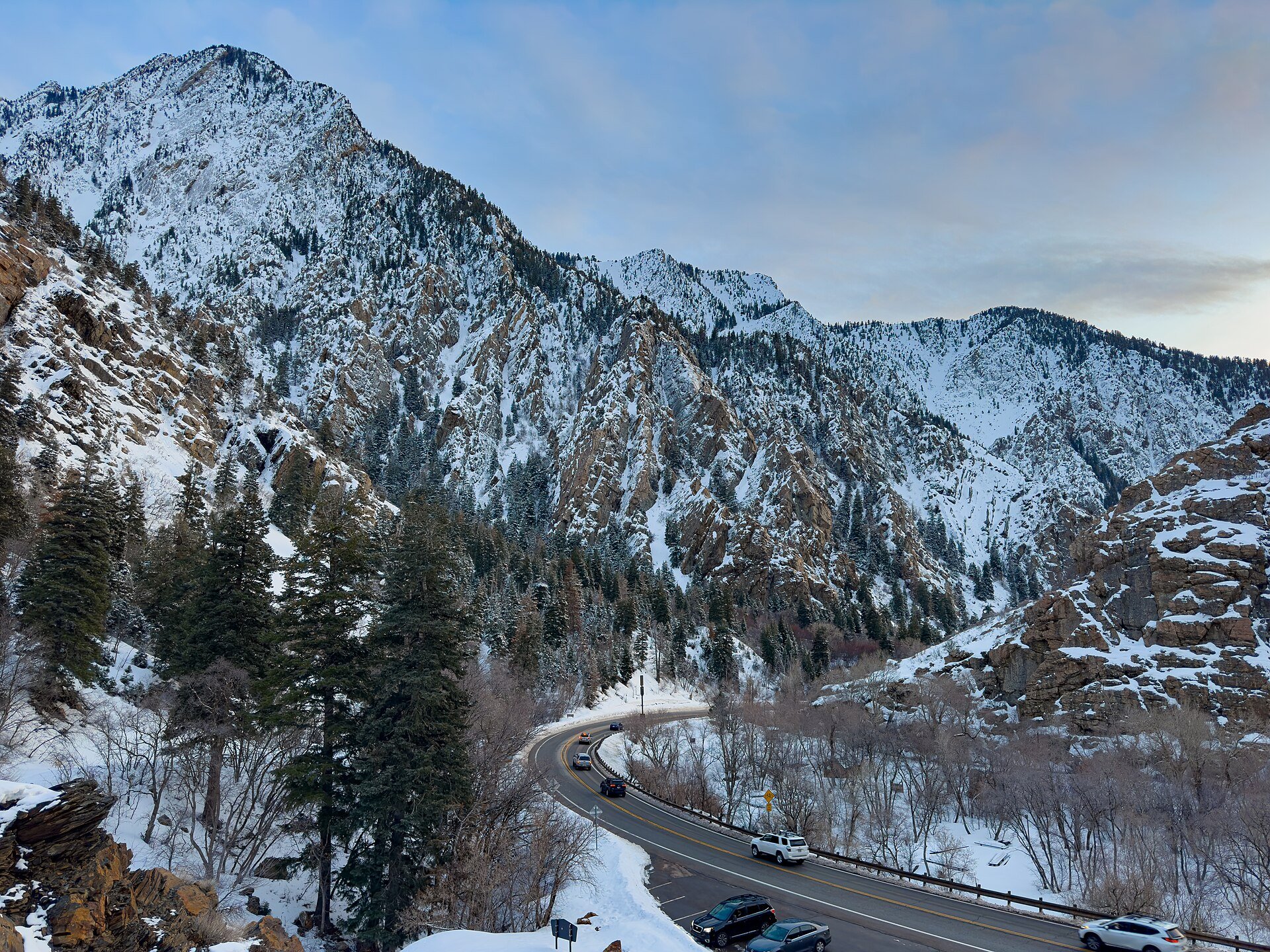
By GyozaDumpling - Own work, CC BY-SA 4.0, https://commons.wikimedia.org/w/index.php?curid=129517610
A STATEWIDE TOOL FOR UTAH WATER MANAGEMENT
Useful information for water users of every size
Better water supply information can improve decisions across Utah.
For reservoir operators, it can help balance water-supply storage and flood-control needs.
For irrigation companies and agricultural users, it can provide earlier information about expected runoff and seasonal supply.
For municipalities, it can support water-supply planning, drought response and system operations.
For state and federal agencies, better measurement and forecasts can improve basin planning and understanding of changing hydrology.
Utah Snow is intended to make these tools increasingly available across Utah, not just to the state's largest water providers.
WHY NOW?
Managing water in a more uncertain Colorado River Basin
Utah water managers increasingly have to make consequential decisions under uncertain hydrologic conditions.
Traditional monitoring and forecasting remain essential, but changing snow accumulation, runoff timing and watershed conditions make it increasingly important to directly observe what is happening across entire mountain watersheds.
Improved measurement does not create more water. It helps Utah make better decisions with the water that is available.
Utah Snow is one part of a broader strategy to improve resilience by giving water managers better information earlier in the decision process.
SEEING WHAT STATIONS CANNOT
SNOTEL and ASO answer different questions.
SNOTEL stations provide valuable, continuous measurements at fixed locations.
ASO provides detailed measurements across the landscape.
Used together, these technologies give water managers both continuous information through time and a much more complete understanding of snowpack across a watershed.
UTAH IS ALREADY BUILDING THE FOUNDATION
Utah's first integrated ASO and streamflow forecasting pilot
A collaborative Utah project is demonstrating how airborne snow mapping can improve the information available to water managers in the Wasatch and Uinta Mountains.
The effort combines watershed-scale ASO measurements with snowpack modeling, ensemble streamflow forecasting and operational water-management tools.
The pilot provides a foundation for determining where these approaches create the most value and how they can be expanded across Utah.
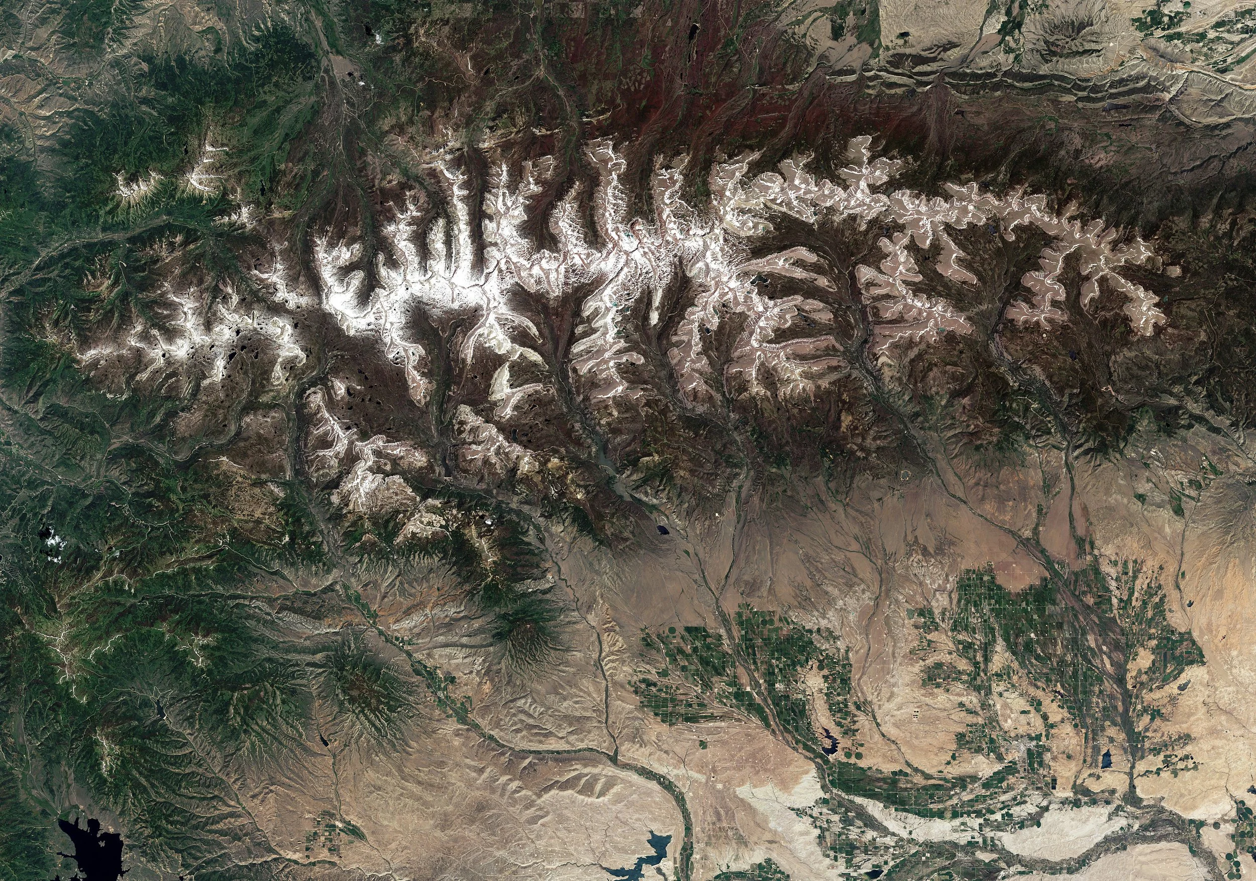
By NASA Goddard Space Flight Center from Greenbelt, MD, USA - July Snow in the Uinta Mountains, UtahUploaded by PDTillman, CC BY 2.0, https://commons.wikimedia.org/w/index.php?curid=15872157
GET INVOLVED
Where could better snow information improve your decisions?
Utah Snow is being developed around the needs of Utah water managers.
Whether you manage a major reservoir, an irrigation company, a municipal system, a watershed or a small water supply, we want to understand where better snowpack measurements and forecasts could be useful.